Whippoorwill Point

Markus taking in the view at the end of the Whippoorwill Point Trail
Harrison Hot Springs is a literal hot spot and a popular location for a quick weekend getaway for people living in the Vancouver area. About an hour's drive away, this small town is known for their healing natural hot springs and possess an aura of relaxation with its spas and hot water pools.
Early one morning during a recent stay at Harrison Hot Springs, British Columbia, we got up nice and early to do the Whippoorwill Point Trail. Before you start thinking that this hike is an extension of the relaxing feeling of the town, think again. The trail had us huffing and puffing and it was surprisingly difficult, but comes with a nice reward at the end.
Getting to the Whippoorwill Point Trailhead
Markus following the path towards the base of the Whippoorwill Point Trail
Depending on who you ask, the Whippoorwill Point Trail is either easy to do or moderately difficult. Since we're not avid hikers, we would classify this hike closer to the moderately difficult spectrum than easy. If you're not sure if this hike is for you, our recommendation is this - once you walk past the main buildings and get to the base of the hill, take a look at this very first section and the steep hill that you need to climb.
While the trail starts to get easier towards the second half of the hike, the first half is mostly like this steep wall right at the very beginning. There's a good chance you will need to use your hands for balance throughout the hike, so make your assessment in the beginning and whether or not you think you can do it safely before proceeding.
As a side note, it's also worth mentioning that some of the breakfast locations open fairly late in Harrison. Be warned that the hours we found online and on Google didn't match the hours at the physical location so we ended up doing the hike on an empty stomach. If you're planning on waking up early to grab a bite before doing the hike, you might have to be prepared with your own breakfast or just do the hike later.

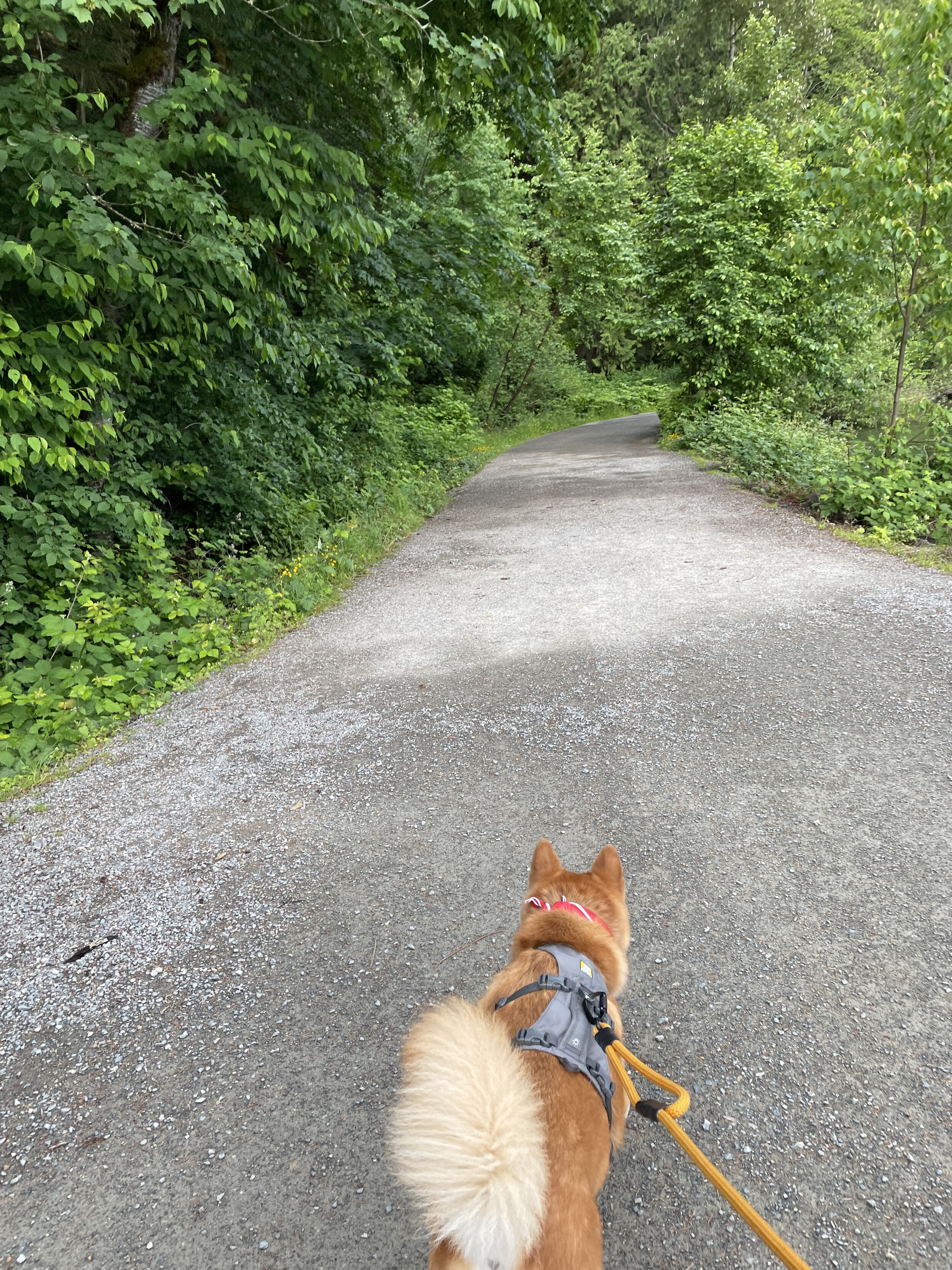
Markus approaching “The Source” on the way to the Whippoorwill Point Trail
Assuming you're staying at Harrison, simply follow the beach past all the buildings heading west. You will pass the last hotel (the Harrison Hot Springs Resort) and onto a path that'll take you over a small bridge and a building with a large Native American painting of the Pacific Northwest Sasquatch on the side. Keep heading down this flat path towards the base of the trail and you will eventually reach "The Source".
The Source is a pinkish building with lots of steam coming out of it. People have carefully touched the water surrounding the building here, but it is generally recommended to use one of the main facilities back in town where the water and temperature is monitored for safer human use. From here, the water feeds into 6 therapeutic pools including the one inside the Harrison Hot Spring Resort and the public pool in the middle of town.
The Whippoorwill Point Trailhead is just past The Source where you will be staring up a steep wall and your first climb.
About Whippoorwill Point Trail

Markus working his way up the rocky paths on the Whippoorwill Point Trail with an orange marker in the distance
Length: 2.9km
Traffic: Low
Route Type: Out & Back
If you were wondering how difficult this hike was going to be, this first section will give you a taste of it right away. From the trailhead, there might not appear to be a clear path to take, but you can make out a worn trail if you look closely. Your best bet is to follow the path of others who did the trail before you. The hike is a mix of steep and uneven dirt paths and rocky areas that you'll have to climb. If you're coming with your dog, make sure they're capable of jumping up larger rocks.
Essentially what we're doing in this first section is going up and around the side of a large hill. To make sure you're going the right direction, there are orange markers along the way. We should say that we felt the markers were few and far between on the way there, but that there were more on the way back. Still, they act as your guides when the path isn't as obvious, so keep an eye out for them.
Sandy Cove Beach

Markus walking along Sandy Cove Beach
After the first section, the steepness of the climb starts to ease up and if you keep following the orange markers, you'll come across two signs labelled, "Sandy Cove Beach". Take this route (there's nothing beyond it) and the first major landmark you'll come across is, well, Sandy Cove Beach. You'll emerge out of the shrubs and find yourself on a small beach. Take a mental note of this because the beach is actually a part of the trail that you need to take. Cut across the beach and the trail picks up on the other side.
At this point, we need to mention two things. First, the place where the trail picks up on the other side of the beach is not very clear. We were a little confused as to where we were supposed to go, but we just kept heading down the beach towards the far end. At one point, we poked our heads into the shrubs where it appeared to be a small entrance and sure enough, there was an orange marker tied to one of the bushes.
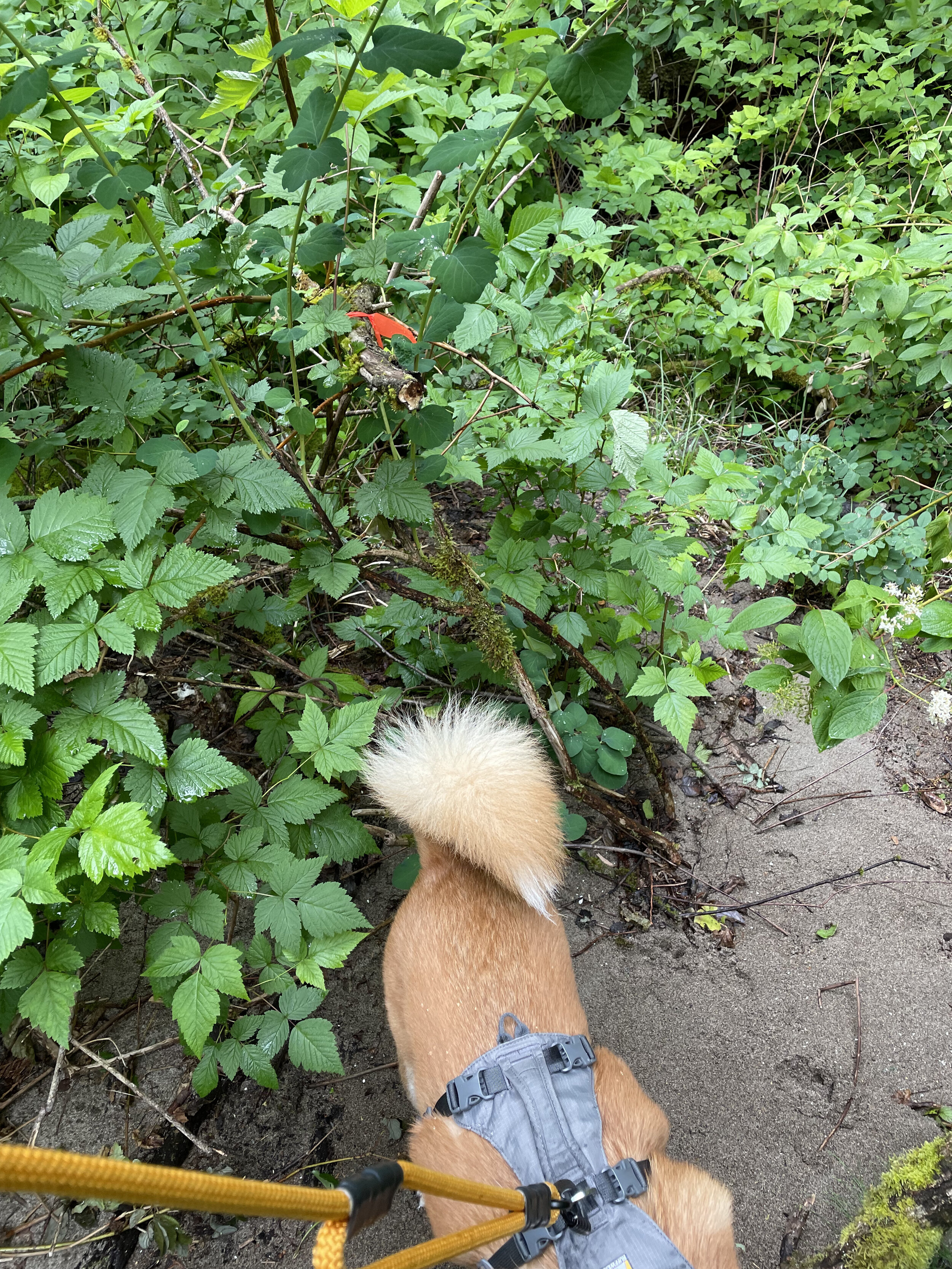
An orange marker tied to one of the shrubs towards the end of the beach
The other thing to mention is that we don't know how high the tide comes up. While we were there, there was maybe one foot of beach between the shrub and the water that we needed to walk past. If the tide rose any higher - and the marks on the beach suggest that this is possible - we're not exactly sure if there's another way around this part of the hike but to step into the water.
Whippoorwill Point

Markus following the path on the Whippoorwill Point Trail
Once we passed Sandy Cove Beach, the path on the other side wasn't too clear to us. In fact, we missed the path, but could see the markers off in the distance, which helped to reorient us. The trail is actually immediately off to the right, kind of following the cliff/edge and the water. It's a bit more obvious on the way back and it's not a big deal if you miss it here. If you're lost, you should be able to make out a path on the trail that's more worn than the rest, so just follow that path.
This last section of the hike is perhaps the easiest part. There will still be some steep climbs up and down rocky areas, but it won't be as bad as the first portion. Since we didn't know what to expect, we almost assumed that the "point" was the highest point of this area, so we nearly turned around before we got to the end. The point is, in fact, a corner piece of the land where you emerge out of the shrubs and trees to a small landing spot where you can view water at over 270 degrees around you. Make sure you get to this spot otherwise you will have just done the entire hike for nothing!

Markus thinking about using the black bench at Whippoorwill Point
You'll know that you have arrived at Whippoorwill Point because there's a little metal bench at the end where you can take a well-deserved break before heading back. It always amazes us how time seems to shift when you're going to and from a hike, but this one just felt ridiculous. We lost track of time on the way out and it felt extremely long, but it only took us 15-20 minutes on the way back. If the beginning part feels like a struggle, don't be discouraged because it does get easier!
What we liked
It was challenging, but the view at the end was rewarding enough to make it worthwhile.
Although there were narrow parts, the entire hike was mostly quiet (but we also did it first thing in the morning).
What we didn't like
While most of the trail was clear enough, parts of it were hard to follow (especially around and just past the beach). As long as you stay on the worn trail and keep an eye out for the orange markers, you'll be good to go.
Our Recommendation for Reactive Dogs
The hike was fine for reactive dogs only because it wasn't very busy. We only came across one other group of hikers (and they didn't have a dog with them), but just because we didn't come across any on the trail doesn't mean that there won't be any. During our stay, there were a lot of dogs in town and along the beach so it is very possible that there will be other dogs on the trail. It's worth noting that parts of the hike were fairly narrow especially through the shrubs and around the rocky parts where your options are more limited.
Beyond other dogs, the actual terrain of the hike is something that you will need to pay attention to and only you can be the judge if it's good for your dog. The trails can be rocky and there are parts that will challenge the spryness of your dog where they will need to summon their inner-goat. If your dog is not used to doing hikes, this might not be the easiest trail to take them on. Otherwise and with proper leash control, they should fine.

Disclaimer
Markus is a reactive, but not aggressive dog. His instinct is to avoid other dogs and he may growl, bark or lunge if provoked, but will not attack. We normally do not have issues with leashed dogs when both sides are controlled, but we will be on guard when an oncoming dog is not leashed. There are varying levels to a dog’s reactivity and only you can decide if this park, trail or hotel is appropriate for your dog. Our visits generally will not include off-leash areas; most experiences shared on The Markus Project are within leashed or undefined areas.
Please remember that our past experience visiting a park, trail or hotel may not be the same as your experience at the same park, trail or hotel. We have no control of who visits the park and whether they adhere to park rules - like leashing their dogs on leash-required paths - or not. Please use your discretion with the information provided and with your personal knowledge of your dog’s reactivity when visiting these parks, trails or hotels.